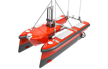
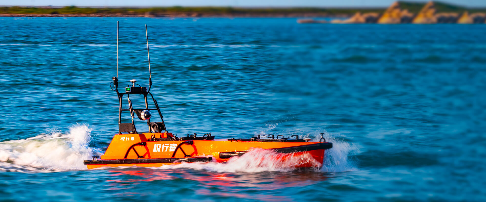
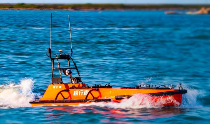
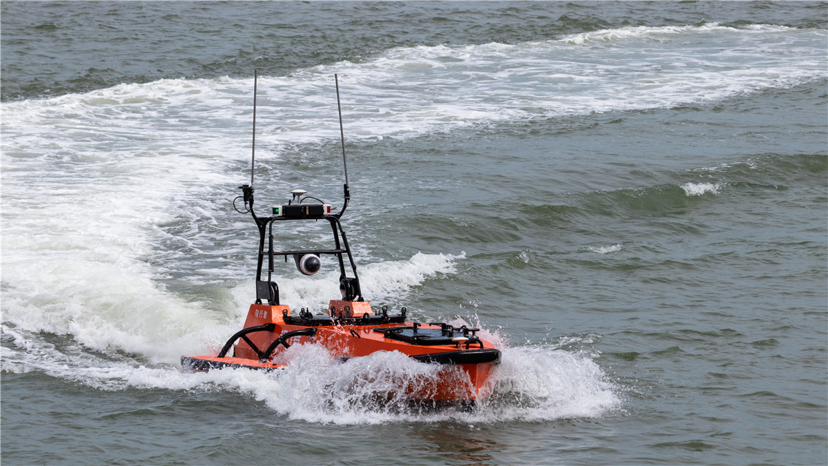
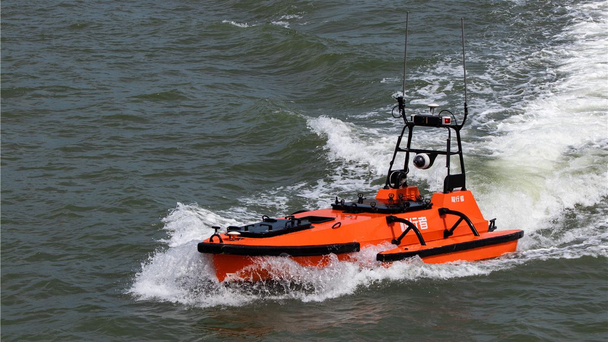
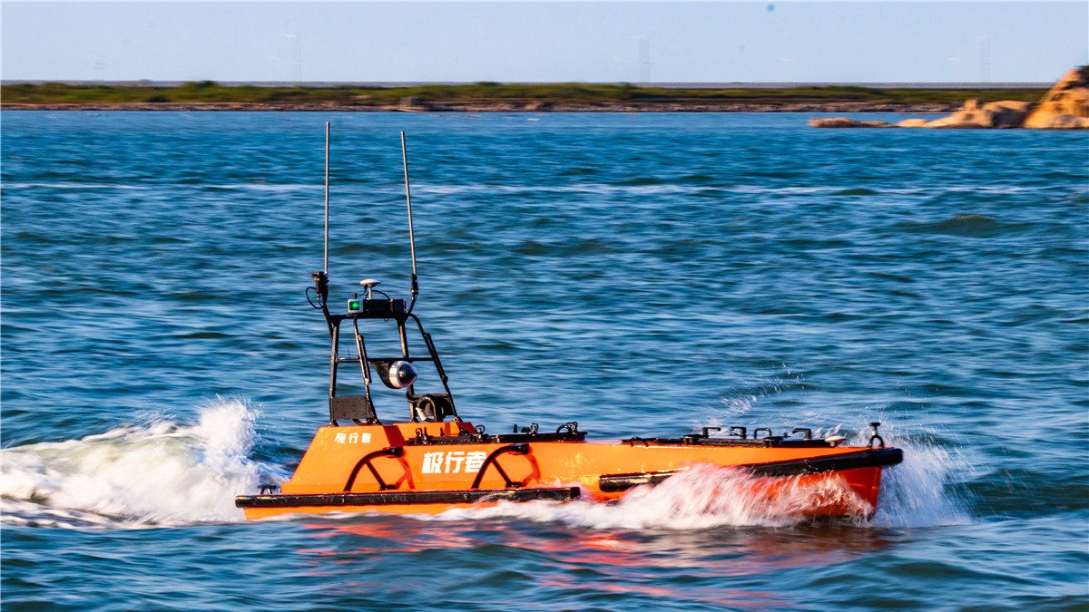
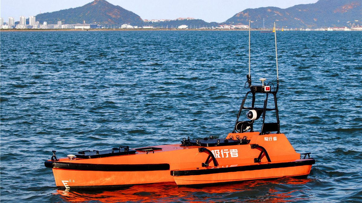
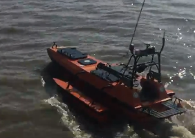
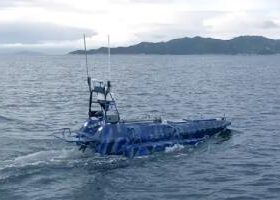
M80
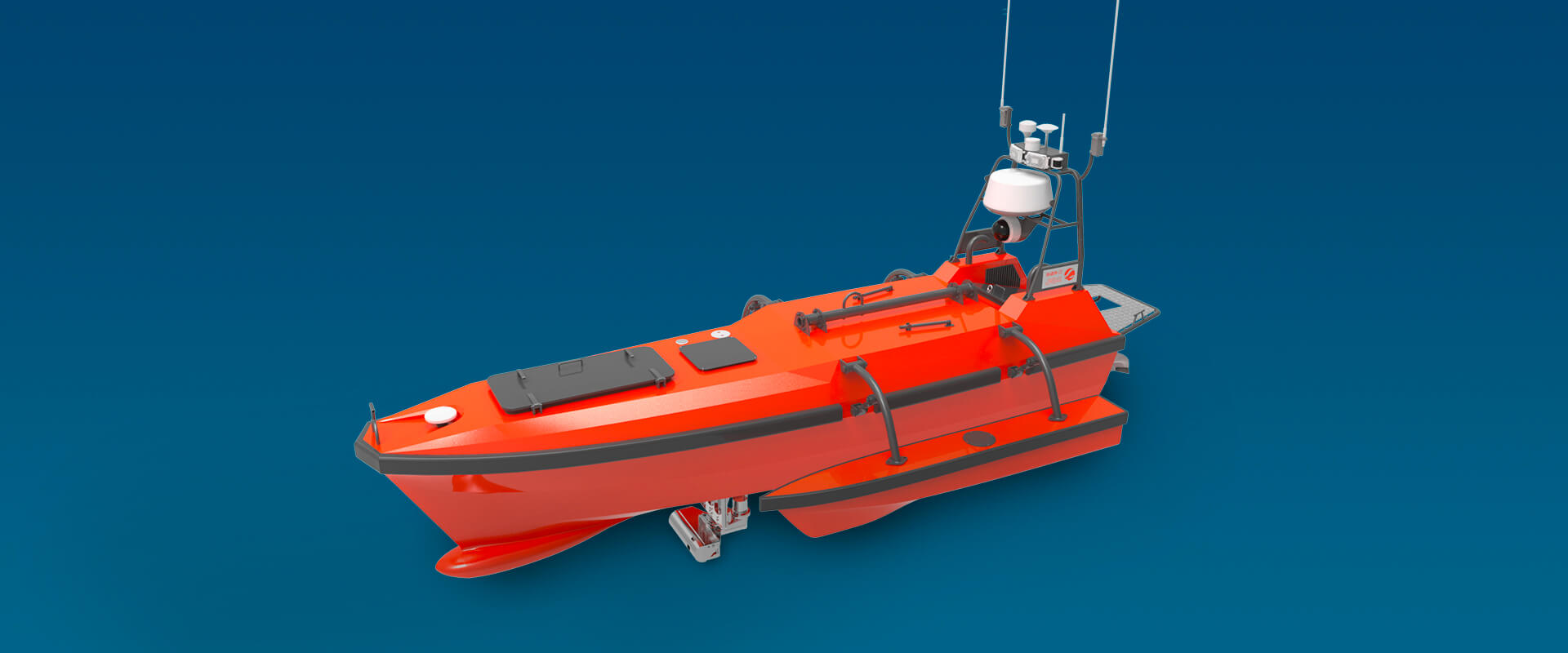
Autonomous Survey Boat
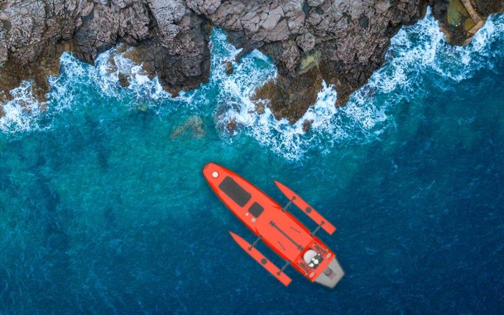
Long endurance multi-functional platform for hydrographic surveying


Large capacity for oceanographic survey instruments
The M80 USV can carry up to 200kg of hydrographic & geophysical instruments to conduct multi- purposed hydrographic surveys on deep sea.
 |
 |
 |
 |
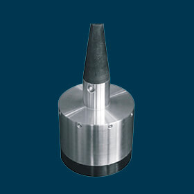
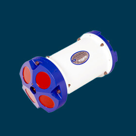
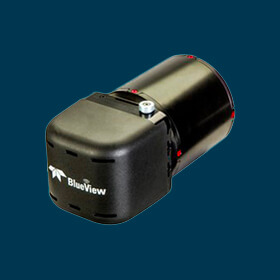
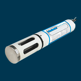
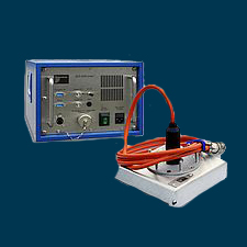
| Singlebeam echo sounder | Multibeam echo sounder | ADCP | 3D LiDAR scanner |
 |
 |
 |
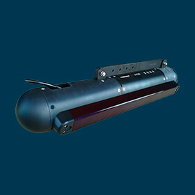
 Sub-bottom profiler Sub-bottom profiler |
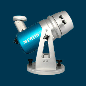
| Side scan sonar | Forward-looking sonar | Water quality sonde |
Longer endurance, faster speed
- The USV can sail 50 hours continuously with a 350 kg (gallon liter) fuel tank.
- The USV can sail up to 12kn/s with a high power water-jet propeller.
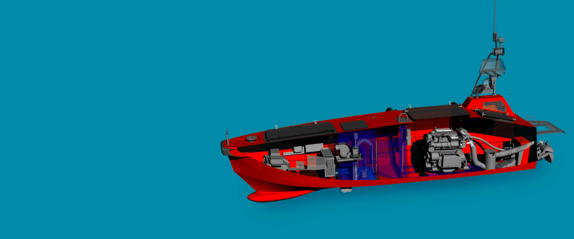
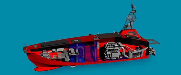
Better protection to equipment
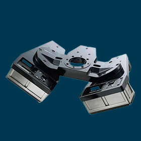
A build-in automatic lifter can lift and drop the instrument depending on whether the USV is sailing or surveying, which can protect transducers and save energy correspondingly.


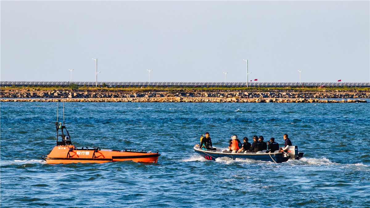
Automatic multi-purpose survey
- Both the USV and the survey instruments are operated by the base station. Navigated by the GNSS positioning system, the USV can autonomously conduct pre-programmed multi-purpose surveying missions and send back data in real-time.
- Operators can also control the USV manually within a distant of 2 km by using a remote controller.

Intelligent collision avoidance
Deployed with a 4G radar, an HD camera and a LiDAR, the M80 USV gives an excellence performance in collision avoidance.
User can observe water environments using the real-time video feed to better avoid obstacles when operating in manual mode.
Specification
| Hull Material | Aluminum |
| Dimension | (L)5.65 m *(W)2.4 m *2.9m(H) |
| Weight | 1600 kg |
| Payload | 200 kg |
| Draft | 45 cm |
| Propulsion | Electric Motor |
| Collision Avoidance | Millimeter Wave Radar |
| Communication Range | >10 km |
| Max. Speed | 10 knots |
| Survey Speed | 5-6 knots |
| Endurance | 200 nm |
| Video Monitoring | Yes |
| Multi Missions | Yes |
| Automatic Paload Lifter | Yes |
| Operation Sea State | SS 3 |
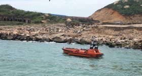
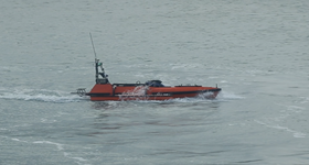
Application Case
-
 M80 USV Deploying A Reson T20P MBES Conducts Underwater Topography Survey Around A Triangle Island
 -
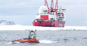
M80 USV Conducts the Underwater Topographic Survey in The Antarctica
-
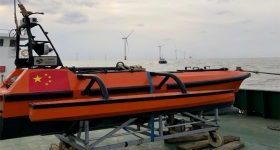
M40 & M80 USV Surveys Offshore Wind Farm Turbine Piles and Cable Scouring
-
China's First Gravity and Magnetic Survey Task Carried out by USV
Gallery
Related Product
-
M40
A state of the art hydrographic platform designed for multi beam survey