
Date: September 2021
Location: Shore Dock Area, Poland
Project Background
Surveying shallow, muddy areas, narrow creeks, and confined spaces around structures has traditionally posed significant challenges for hydrographic surveyors. Conventional survey methods using small boats or manual measurements in turbid waters are not only dangerous and physically demanding, but often fail to deliver high-quality data.
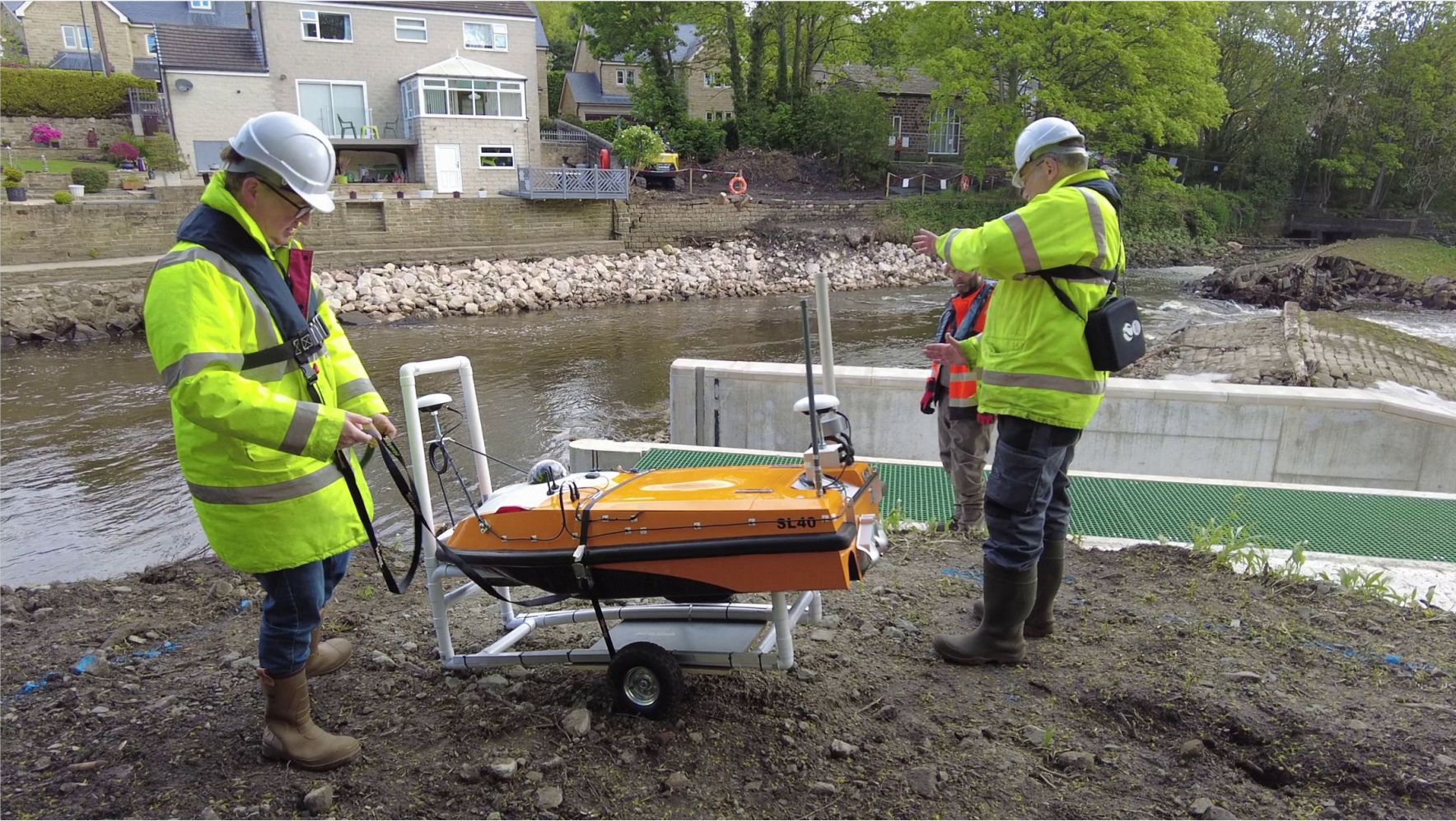
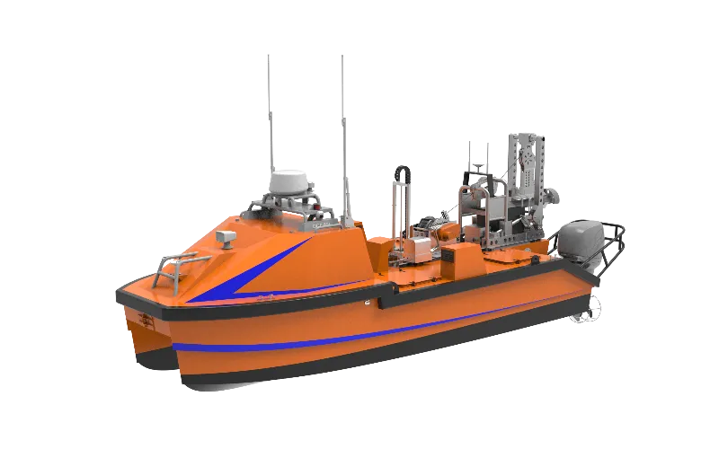
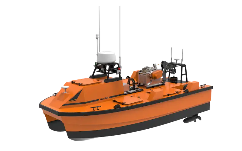
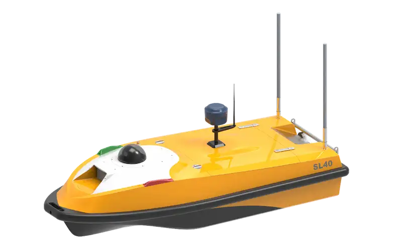
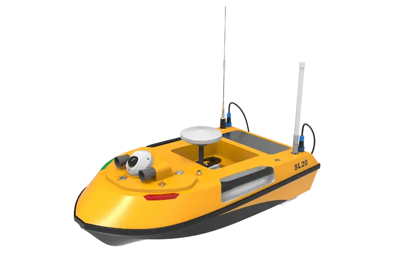
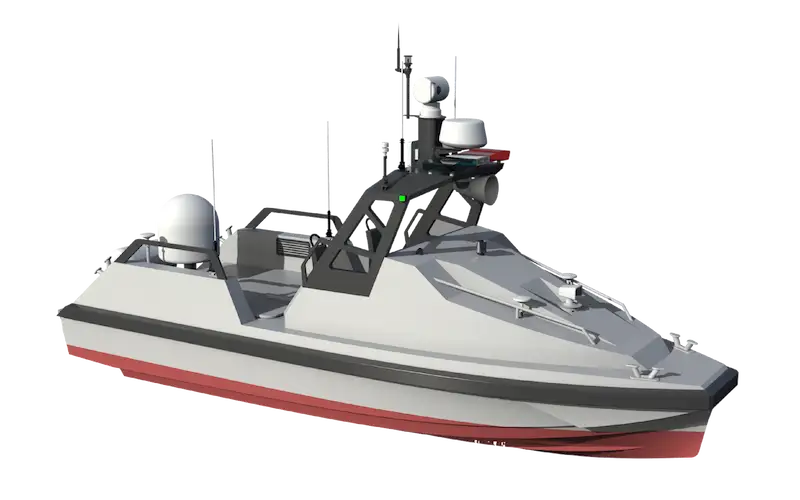
OceanAlpha’s SL20 USV (Unmanned Surface Vessel) offers a revolutionary solution – a 1-meter-long, portable autonomous survey boat equipped with advanced navigation and communication systems. When paired with a single beam echo sounder, the SL20 USV can autonomously follow pre-set routes while transmitting real-time bathymetric and positional data.
Survey Implementation
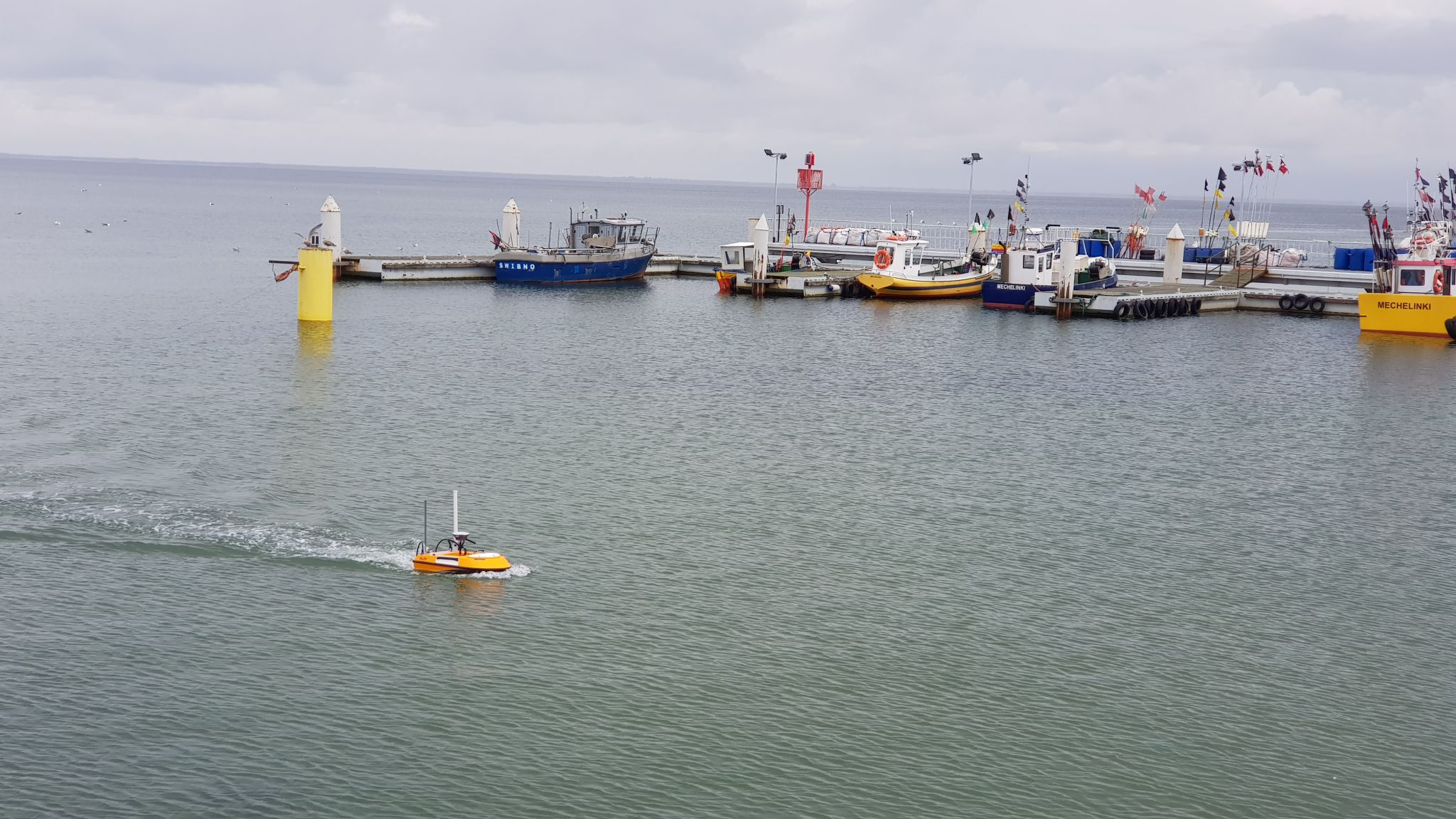
In September 2021, Echogram s.c. from Poland deployed their SL20 USV for a bathymetric survey in a challenging shore dock area. The survey team implemented an innovative mobile setup:
- Mobile Command Center: A recreational vehicle (RV) was transformed into a mobile survey station, providing protection from weather conditions while serving as a command center
- Route Planning: Surveyors quickly established a lattice-style survey route using the USV navigation system on a laptop
- Autonomous Operation: The SL20 USV received route instructions via wireless communication and executed the survey mission autonomously
- Real-time Monitoring: Surveyors monitored real-time data through hydrologic software running on the same laptop
![]()
Key Advantages of the SL20 USV
The SL20 USV demonstrated exceptional capabilities in this challenging environment:
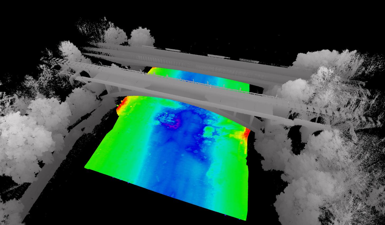
- Unmatched Accessibility: The small and maneuverable USV could navigate directly adjacent to and beneath piers – areas completely inaccessible to manned vessels
- Precise Navigation: “Thanks to the excellent coordination of two GNSS RTK receivers (base and rover) and the USV’s navigation algorithm, we achieved perfectly straight survey lines,” noted Maciej Lang, Surveyor at Echogram. The streamlined hull design and smooth propulsion system contributed to stable navigation despite the vessel’s compact size
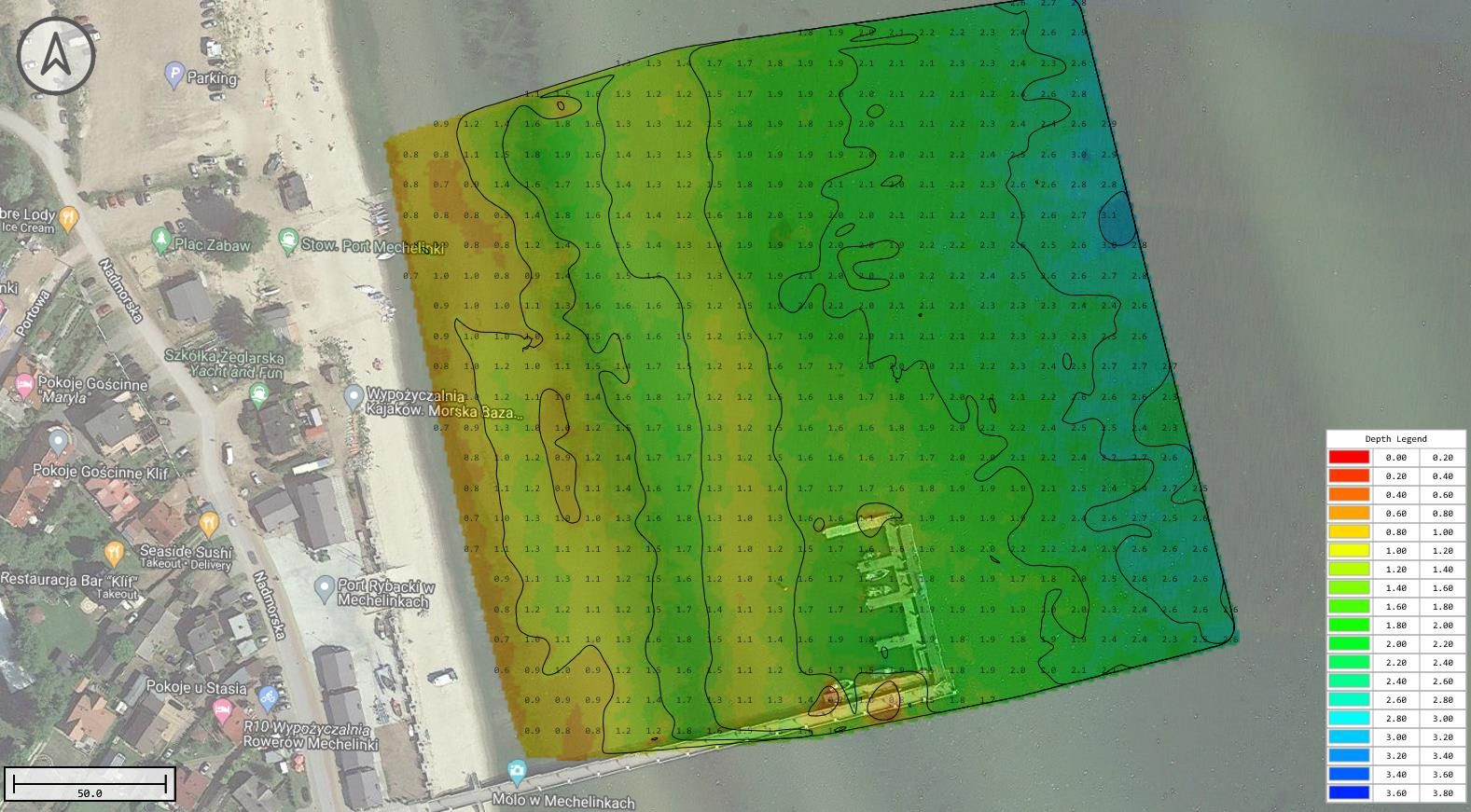
Data Processing & Results
The survey data workflow included:
- GPS Logging: Recording precise positioning data
- XYZ Data Compilation: Combining GPS output with depth measurements from the echo sounder
- Visualization: Generating contour views and color-coded charts to represent water depth distribution:
- Red areas indicate shallow, hazardous zones unsafe for manned boats
- Green areas represent safe, deeper waters
- Blue areas show the deepest sections
This USV-based survey approach provided a safer, more efficient, and more comprehensive data collection method compared to traditional techniques, particularly in challenging shallow water environments.