

Date: Early Spring 2021
Location: River Aire, Newlay, West Yorkshire, UK
Project Background
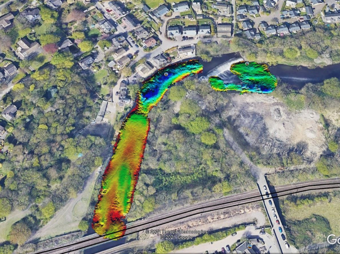
In early 2021, Storm Geomatics received a request from an existing client to conduct topographic and bathymetric surveys along a 250-meter stretch of the River Aire near Newlay, northwest of Leeds. The survey aimed to gather critical data for local asset recovery works, focusing on the area surrounding Newlay Weir, including the riverbanks, foreshore, and flood defenses.
Challenges & Solution
The survey location presented significant challenges:
- Extremely shallow water conditions
- Fast-flowing currents
- Difficult accessibility
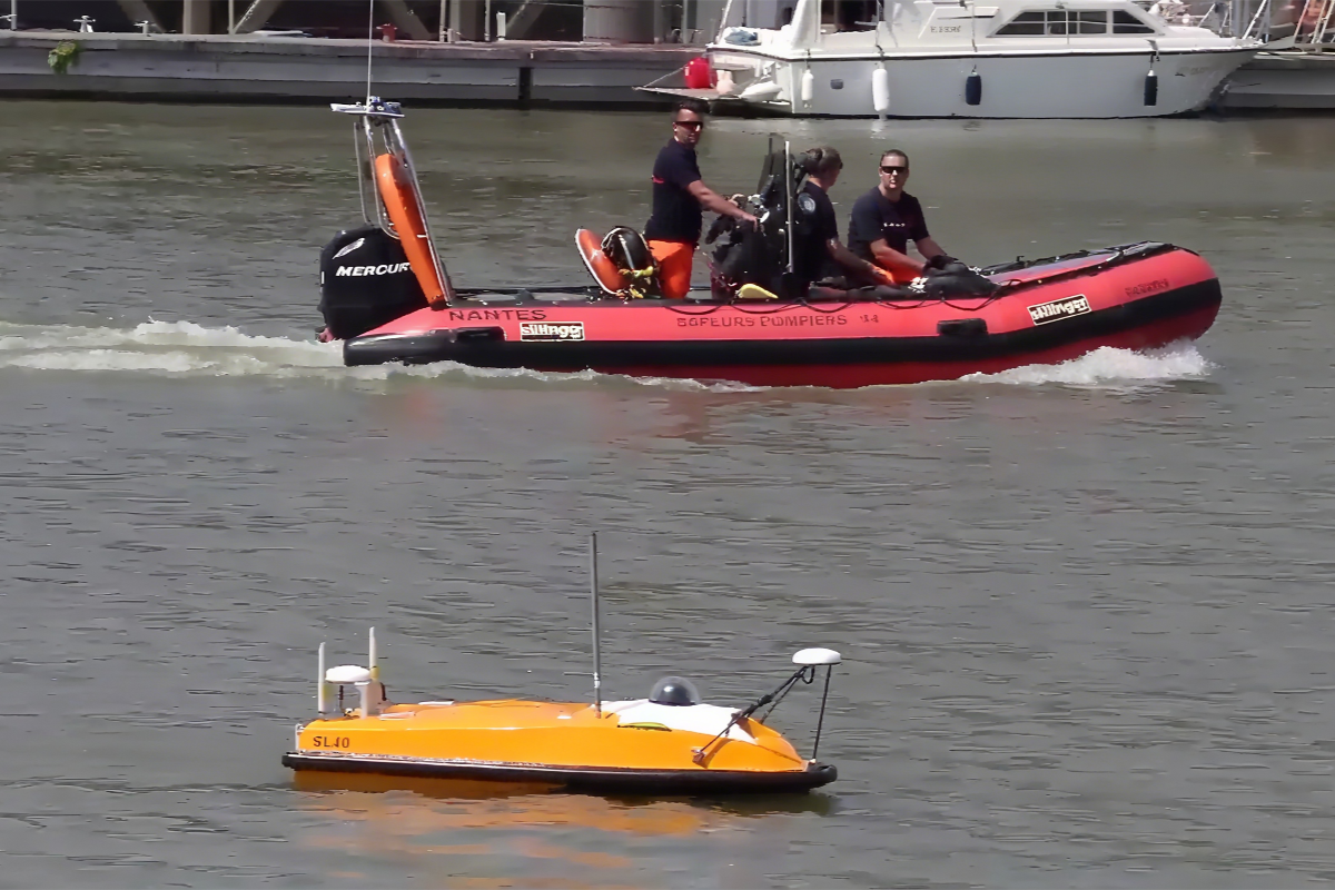
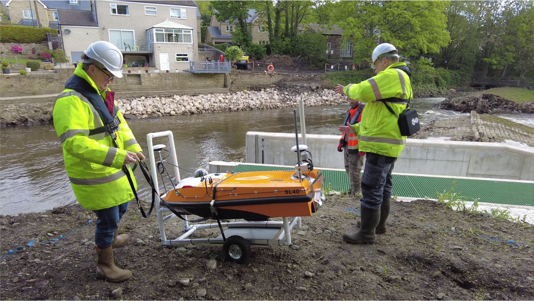
To overcome these obstacles, Storm Geomatics deployed an advanced Unmanned Surface Vessel (USV) solution provided by the THURN Group and OceanAlpha. The system featured:
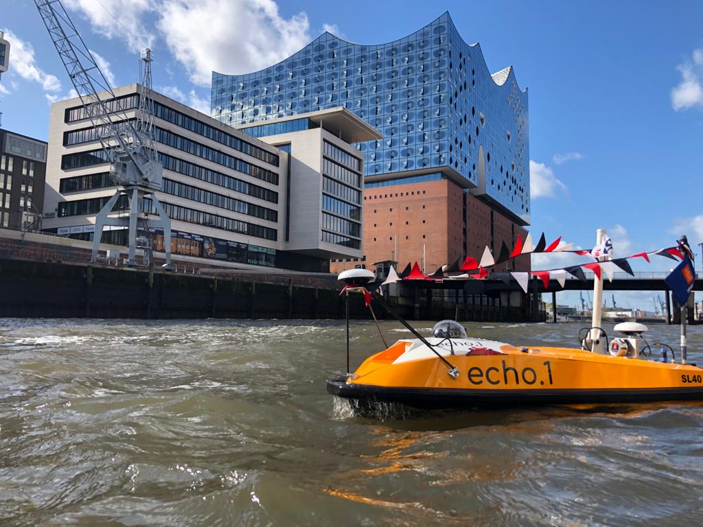
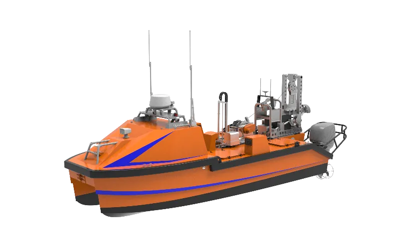
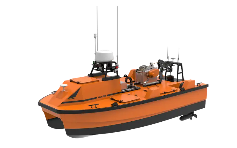
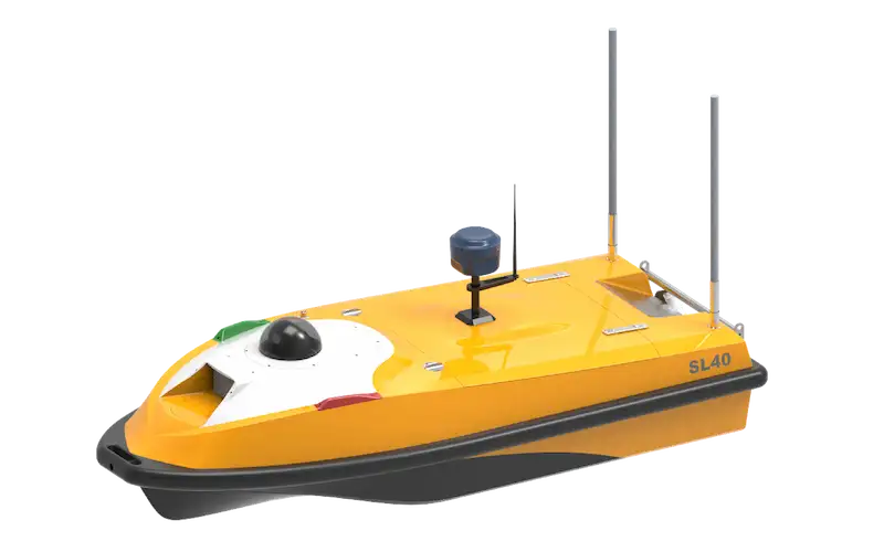
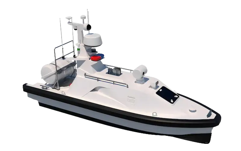
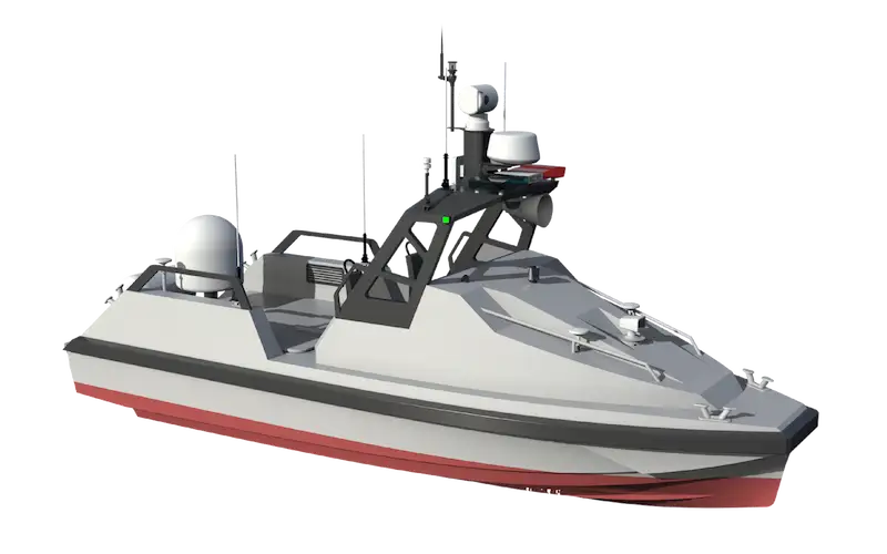
- OceanAlpha SL40 USV – A compact, maneuverable platform ideal for challenging river environments
- Geoswath4 Interferometric Sonar – Enabled wide-swath bathymetric mapping for efficient riverbank-to-riverbank coverage
- SBG Ekinox IMU – Delivered precise inertial measurements for accurate data collection
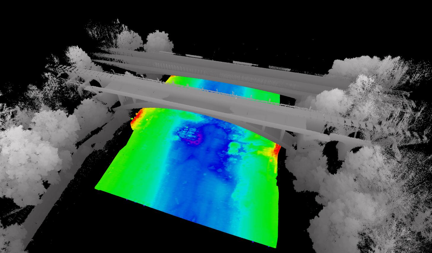
The SL40 USV’s shallow draft and the Geoswath sonar’s wide swath capability allowed the team to conduct a complete bathymetric survey safely and efficiently, even in the most inaccessible sections of the fast-moving river.
Survey Methodology
- Bathymetric Survey
- The SL40 USV mapped the riverbed using the Geoswath4 Interferometric Sonar, capturing detailed depth data across the entire channel.
- The wide-swath sonar technology ensured comprehensive coverage without requiring multiple passes.
- Topographic Survey
- A combination of SL40 USV and traditional survey methods was employed:
- Total station for 2m grid ground control
- Trimble SX10 laser scanner for high-precision surface mapping
- Overlapping data from both methods were cross-verified in GIS for accuracy.
- A combination of SL40 USV and traditional survey methods was employed:
Results & Deliverables
The combined survey data was processed to generate:
- A detailed 3D model of the riverine environment
- Engineering drawings for asset recovery planning
- A hydraulic model in Flood Modeller Pro
These geospatial deliverables provided engineers with critical insights into:
- Current topography and conditions at Newlay Weir
- Water level and flow calculations for various rainfall return periods
The project demonstrated the SL40 USV’s effectiveness in shallow-water bathymetric surveys, delivering high-quality data in a challenging environment while minimizing operational risks.