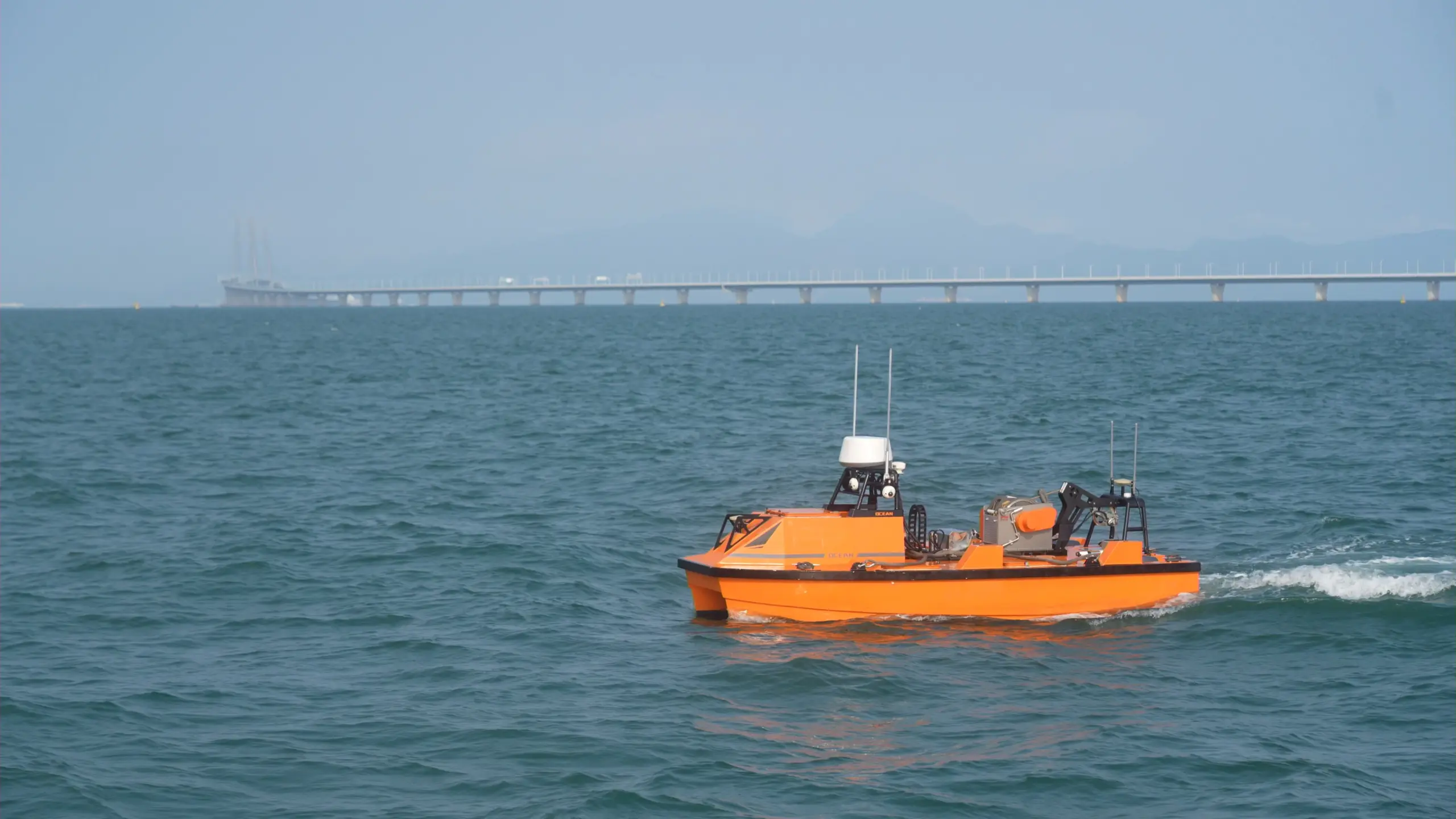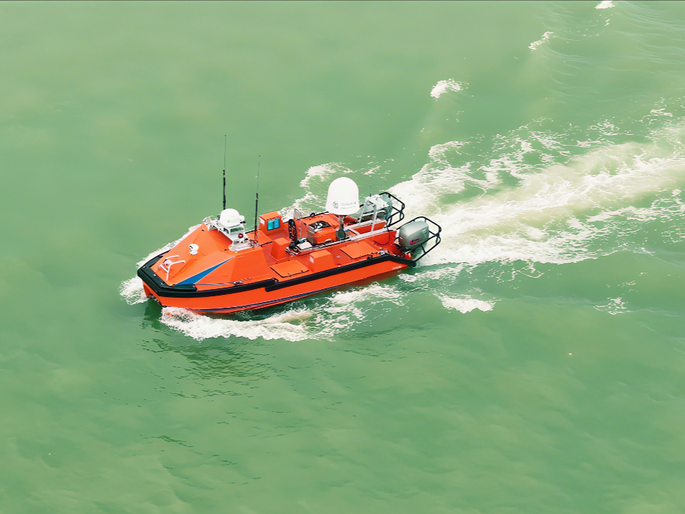
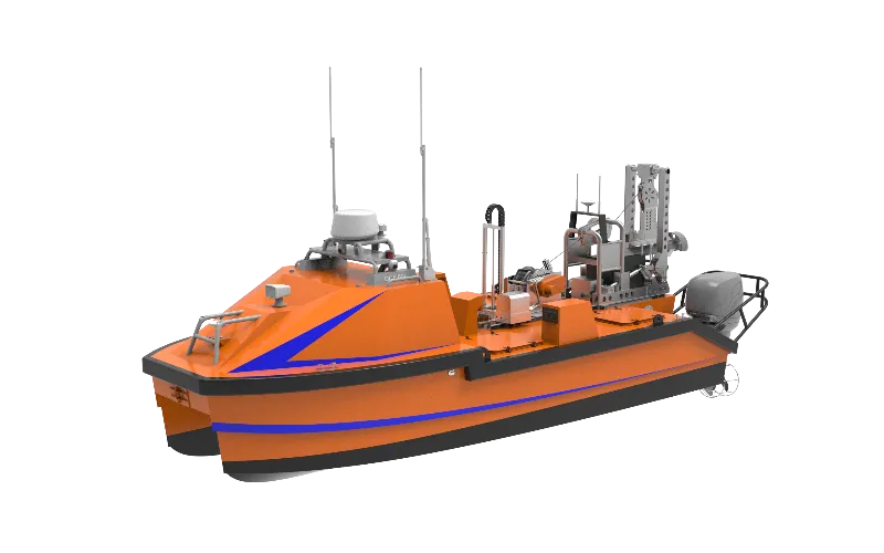
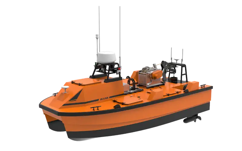

Compass Survey Limited, a leading marine survey provider in West Africa, has put the OceanAlpha L42 uncrewed surface vessel (USV) to work acquiring high-resolution multibeam bathymetry in Nigerian waters – monitored and controlled entirely from a shore-based control room. This is the first L42 to enter service offshore Africa, and among the early commercial USV hydrographic operations of its kind in Nigeria.
Project Snapshot
| Item | Detail |
| Platform | OceanAlpha L42 long-endurance hybrid USV |
| Featured operation | High-resolution multibeam bathymetric survey in shallow coastal waters, Nigeria |
| Survey area | A defined survey block in shallow coastal waters |
| Operating mode | Real-time monitoring and control from a shore-based remote control room |
| Delivery and training | 2025, with a two-week customised operator-training programme |
1. Background
Compass Survey Limited provides marine survey and geospatial services to Nigeria’s offshore energy, channel survey and environmental monitoring sectors. In 2025, the company took delivery of an OceanAlpha L42 – the first L42 to enter service offshore Africa – and completed a two-week customised training programme covering equipment maintenance, data processing and contingency procedures.
The delivery was structured as a capability transfer, not just a handover. Training and local technical support enabled Compass Survey’s own team to launch, operate and maintain the USV and its survey spread, building a local uncrewed-survey capability in Nigeria.
2. The Deployment
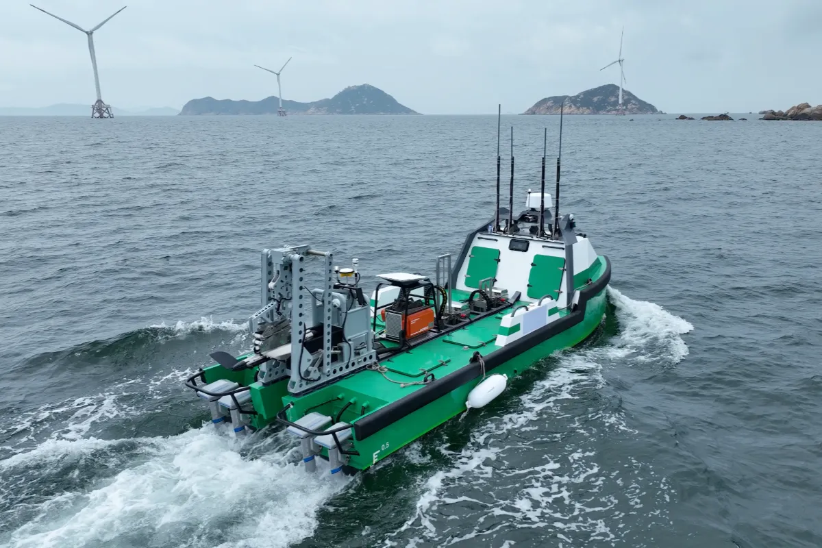
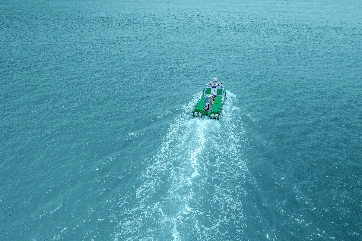
Compass Survey deployed the L42 to autonomously acquire high-resolution bathymetric data. Equipped with a multibeam echosounder and integrated navigation and motion sensors, the vessel navigated and collected data without a crew on board, while an expert team in the remote control room monitors and controls it in real time – overseeing navigation, data capture and quality assurance throughout the mission.
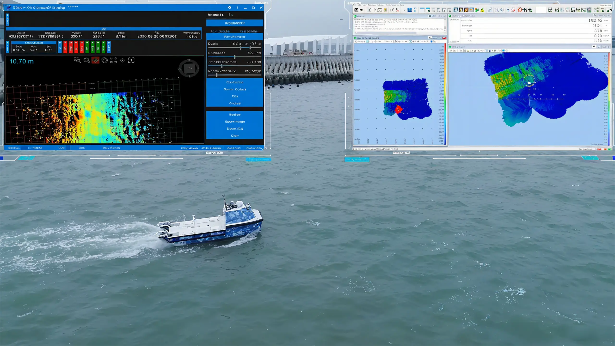
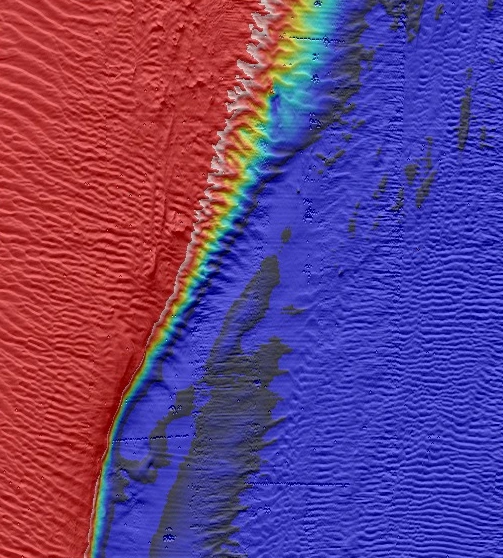
The result of this operating model is a processed multibeam dataset that reveals seabed features with clear detail and depth precision, while keeping personnel off the water and reducing the cost and fuel consumption of a conventional crewed survey.
3. Operation in Focus: Shallow Coastal Waters, Nigeria
In a representative operation, the L42 surveyed a defined block in a shallow, sheltered coastal waterway. The sections below document the environmental conditions, the survey configuration and the field observations recorded by the Compass Survey team. Site-specific details (location, dates, block size and chart datum) are withheld at the customer’s request.
3.1 Environmental conditions
| Parameter | Recorded value |
| Current speed | 3–4 knots |
| Wind speed / direction | Approx. 12 km/h, south-west |
| Water depth | Shallow coastal water (specific range withheld) |
3.2 Survey system configuration
| Subsystem | Configuration |
| Multibeam echosounder | Teledyne RESON T51, 800 kHz; 120° swath opening; 2.5 pings/s; 17 dB gain; transducer draft 0.624 m |
| Positioning | Trimble GNSS receiver, dual antennas; PPK mode; WGS84 datum with project-specific UTM projection; EGM2008 geoid model |
| Motion / attitude | SBG INS and Teledyne Saturn 10 INS, with raw roll, pitch and heading time-series logged |
| Sound velocity | VP2 sound velocity probe; downcast profiles taken before and during acquisition |
| Acquisition / processing | BeamworX NavAQ (acquisition) and BeamworX Autoclean (processing); raw data in NavAQ and S7K formats |
3.3 Acquisition parameters
| Parameter | Value |
| Survey speed | 3–4 knots |
| Line spacing | 25 m |
| Coverage | Full coverage of the defined survey block |
| Horizontal / vertical reference | WGS84 datum; EGM2008 geoid |
| Positioning method | PPK |
3.4 Field observations
Multibeam acquisition remained stable throughout the observed operating conditions, with the L42 delivering consistent, high-resolution coverage of the survey block.
4. Why It Matters
- Uncrewed, survey-grade – A survey-grade multibeam spread – T51 MBES, dual INS, dual-antenna PPK GNSS – operated from a shore-based control room, with no personnel required on the water.
- Open integration – The L42’s hybrid propulsion and modular deck accepted a full professional hydrographic sensor suite, with data acquired in standard S7K / NavAQ formats and processed in the customer’s established BeamworX workflow.
- Capability building – The deployment helped build local USV survey capabilitieslocally in Nigeria, through structured training and documentation – alongside a supplier–customer feedback loop that captures real operating limits (e.g. high-current line-keeping) for product improvement.
“We’re proud to be pioneering the use of USV technology in Nigeria, shaping a smarter, safer, and more sustainable future for offshore exploration.”
— Compass Survey Limited, 2025
5. About the Platform
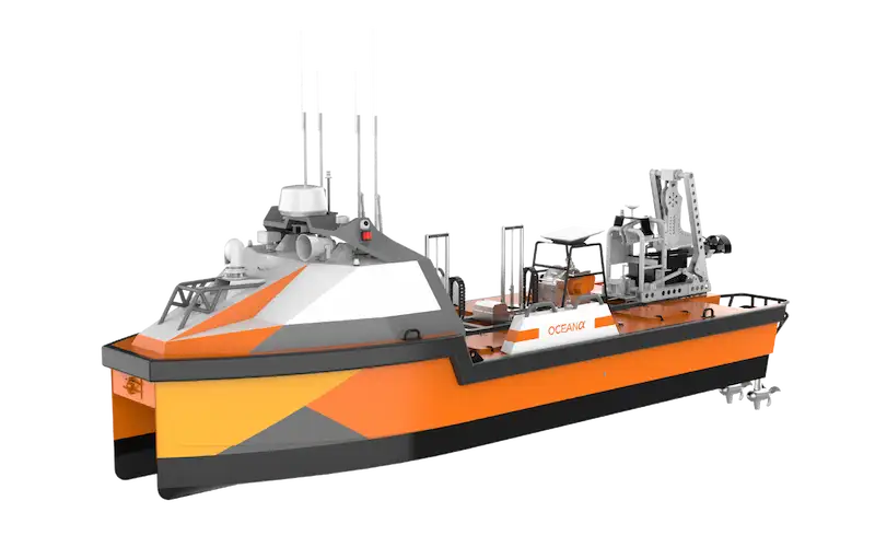
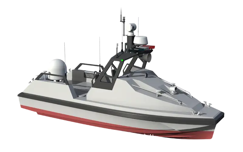
The OceanAlpha L42 is an 8.4 m aluminium catamaran USV purpose-built for offshore hydrographic and geophysical surveys. It offers 8 days / 1,500 km of hybrid endurance at 4 kn, a 500 kg payload with dual moonpools and hydraulic auto-lifters, four independently driven electric motors for propulsion redundancy, and Starlink, private-network and Iridium communication links. It supports MBES, sub-bottom profiler, side-scan sonar, magnetometer, USBL, ADCP and other sensors.
Contact the OceanAlpha survey-solutions team to discuss your hydrographic or offshore survey project.