Date: June 2020
Location: Important tributaries of the Puning section of the Lianjiang River
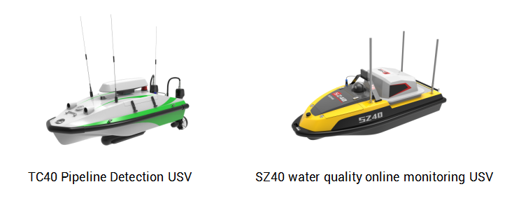
equipment: SZ40 water quality online monitoring USV
TC40 Pipeline Detection USV
Side-scan sonar, HD camera
Three-in-one water quality online monitor
Background
With the support of the Guangdong Academy of Environmental Sciences, Jieyang City and Puning City today launched a pollution traceability project for important tributaries of the Lianjiang River Basin (Puning Section). The project adopted two OceanAlpha unmanned surface vessels(USVs) to conduct high-frequency water quality monitoring to analyze key polluted river sections and to investigate sewage outlets and hidden pipes to find out the source of pollution. With two USVs operating at the same time, two types of data can be obtained for mutual verification and provide a strong basis for pollution traceability analysis.
Working Process
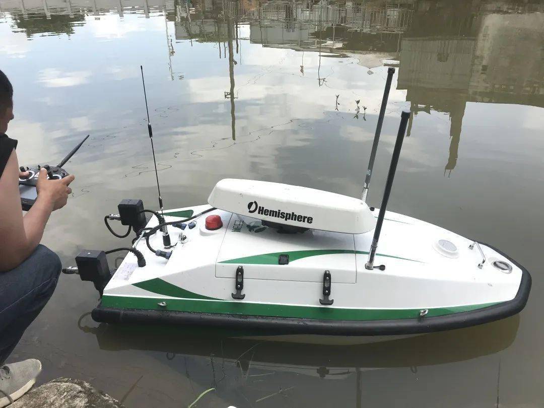
Investigation of sewage outlet:The TC40 USV, which is only over 1 meter long and integrated with side-scan sonar, is specially used for the inspection of the discharge outlets and underwater hidden pipes. During the operation, a technician controlled the TC40 USV with a smart remote controller and kept the navigation speed below 1m/s. The USV transmitted sonar images to the ground portable base station in real-time. Another technician operated the side-scan software at the base station to observe the sonar images of the bottom of the river and both banks. If a suspicious point is found, the technician will direct the USV to conduct repeated inspections and combine the analysis of the water quality online monitoring data from another USV to determine whether there are hidden pipes and sewage.
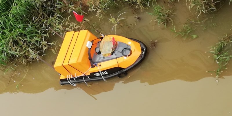
Online monitoring of water quality: The SZ40 water quality online monitoring USV can simultaneously monitor the COD, ammonia nitrogen, and total phosphorus amount in the water. The USV navigated autonomously and monitor water quality according to preset routes. The monitoring data were synchronously transmitted to computers, mobile phones, and other devices, and a concentration distribution map of water quality parameters was soon generated. Through the automatic monitoring work mode of USV, users can achieve the visualization of water quality monitoring.
Both USVs communicate via 4G or 5G signals, so there is almost no delay in data transmission. In addition to remote control, the USVs can also navigate autonomously based on GPS positioning and return after completing the mission. In complex waters, technicians can switch to remote control mode at any time on the shore.
In this full-coverage pollution source investigation project, the Guangdong Academy of Environmental Sciences used two USVs to work together for the first time to construct a pollution source tracking system that mutually verified and supported each other for discharge inspection and water quality monitoring.
Investigation Results
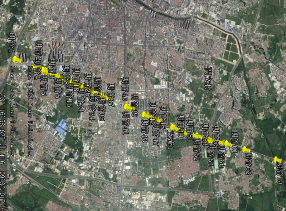
The technicians used USVs to investigate 7 important tributaries, the total length which is 82.6 kilometers, and the accurate position coordinate information of pollution outlets was marked. Combining with the results of water quality monitoring, the concealed pipes and pollution sources were quickly identified, and a map of the distribution and types of the outlets were drawn, providing a clear and reliable basis for the traceability and comprehensive management of pollution sources.
Sewage outlet inspection results
Related Applications
We’d love to hear from you
Whether you have a question about features, trials, pricing, need a demo, or anything else, our team is ready to answer all your questions.