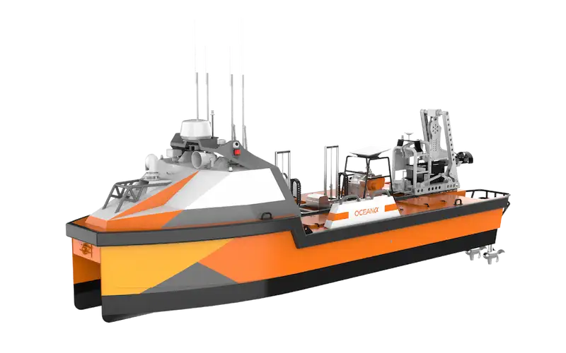
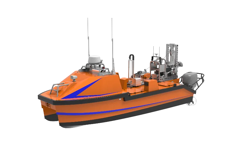
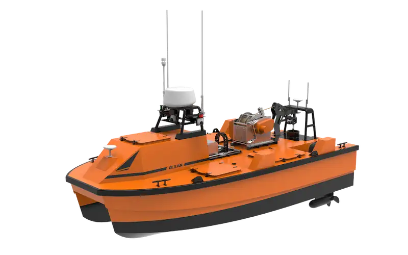
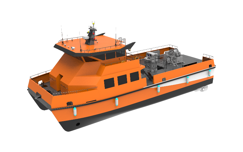
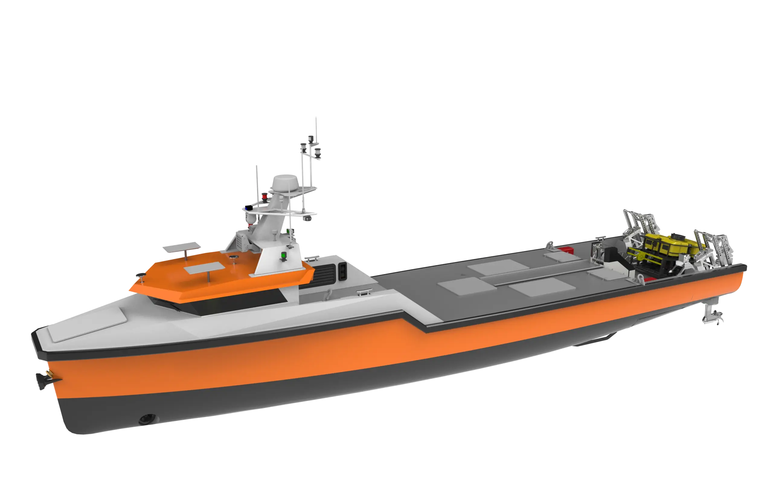
Dedicated For Precision in Shallow & Dynamic Waters
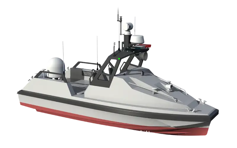
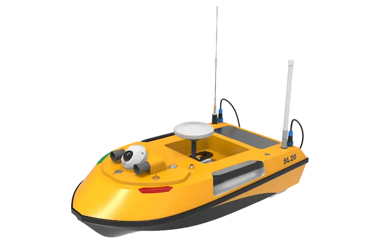
OceanAlpha launched the world’s first autonomous small hydrographic USV (2013), setting the standard for inland water survey USVs. Our USVs combine ultra-portability (1-2 people deploy, car-trunk fit) with sonar systems, solving key inland challenges: shallow/narrow access, high charter costs, and slow operations.
Shallow Water Bathymetry
Challenge:Inland waterways feature extreme shallows (<0.3m), narrow canals, dense vegetation, and floating debris—traditional boats risk grounding or entanglement, while manual surveys are slow and costly.
OceanAlpha Solution:Our USVs (draft 0.25m) navigate these zones with multi-sensor versatility (single/multi-beam, SVS, SVP for high accuracy), debris-resistant waterjet thrusters, and auto-navigation/obstacle avoidance.
Flow Velocity & Discharge Measurement
Challenge:Inland waterways have uneven currents and complex cross-sections—traditional boat-mounted ADCPs struggle with limited coverage and inefficient velocity mapping.
OceanAlpha Solution:Our USVs integrated with ADCP systems for precise flow measurement, autonomously navigating to calculate discharge volumes for flood control and water planning.
Water Quality Sampling & Monitoring
Challenge: High-frequency sampling in reservoirs, lakes, and protected areas is critical for drinking water safety and ecological health—but traditional boats cause water pollution (fuel/oil leaks, turbulence) and require high labor/operational costs for repeated manual surveys.
OceanAlpha Solution:Our electric-powered water sampling USVs offer remote-controlled, automated, or layered sampling + real-time analysis. The USV navigate preset waypoints to collect samples, generate real-time water quality maps—zero emissions, zero human risk, and at least 50% cost reduction vs. conventional methods.
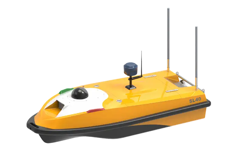
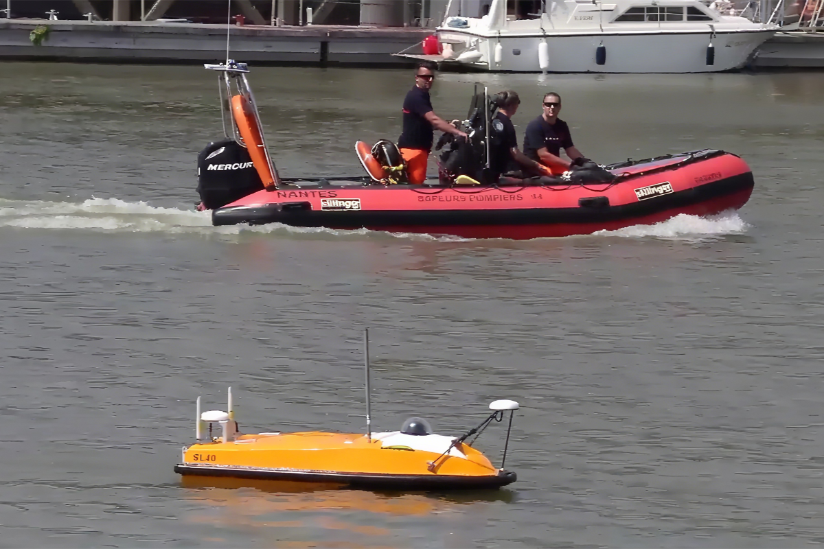
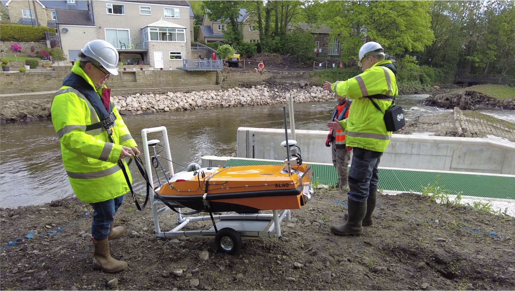
The field test demonstrated the SL40 USV’s exceptional stability as a multi-sensor platform, delivering clear underwater maps and accurate 3D above-water imagery in a single deployment.
The USV allowed the team to gather critical hydrographic data in one of the world’s most challenging survey environments while maintaining safety and operational efficiency.