Date: September, 2019
Location: Lebanga hydro-power station, Cameroon, Africa
Mission: Land and underwater topographic survey
Equipment: OceanApha SL20 unmanned surface vehicle
South Survey UAV laser radar
An OceanApha SL20 unmanned surface vehicle (USV) and a South Survey UAV laser radar were utilized to map the engineering site of a hydro-power station dam in Cameroon, Africa. The success of this project provides a valuable reference to the collaboration of unmanned platforms in the geographic survey industry.
To provide data support to the dam construction of Lebanga hydro-power station, a total of 19.72 square kilometer of engineering area, including both land and underwater surface, were efficiently mapped in one week due to the innovative application of these unmanned platforms.
Due to its tropical location, Cameroon is densely weeded with trees. To guarantee the data quality, the team spent two weeks in advance to find an ideal location to launch the UAV.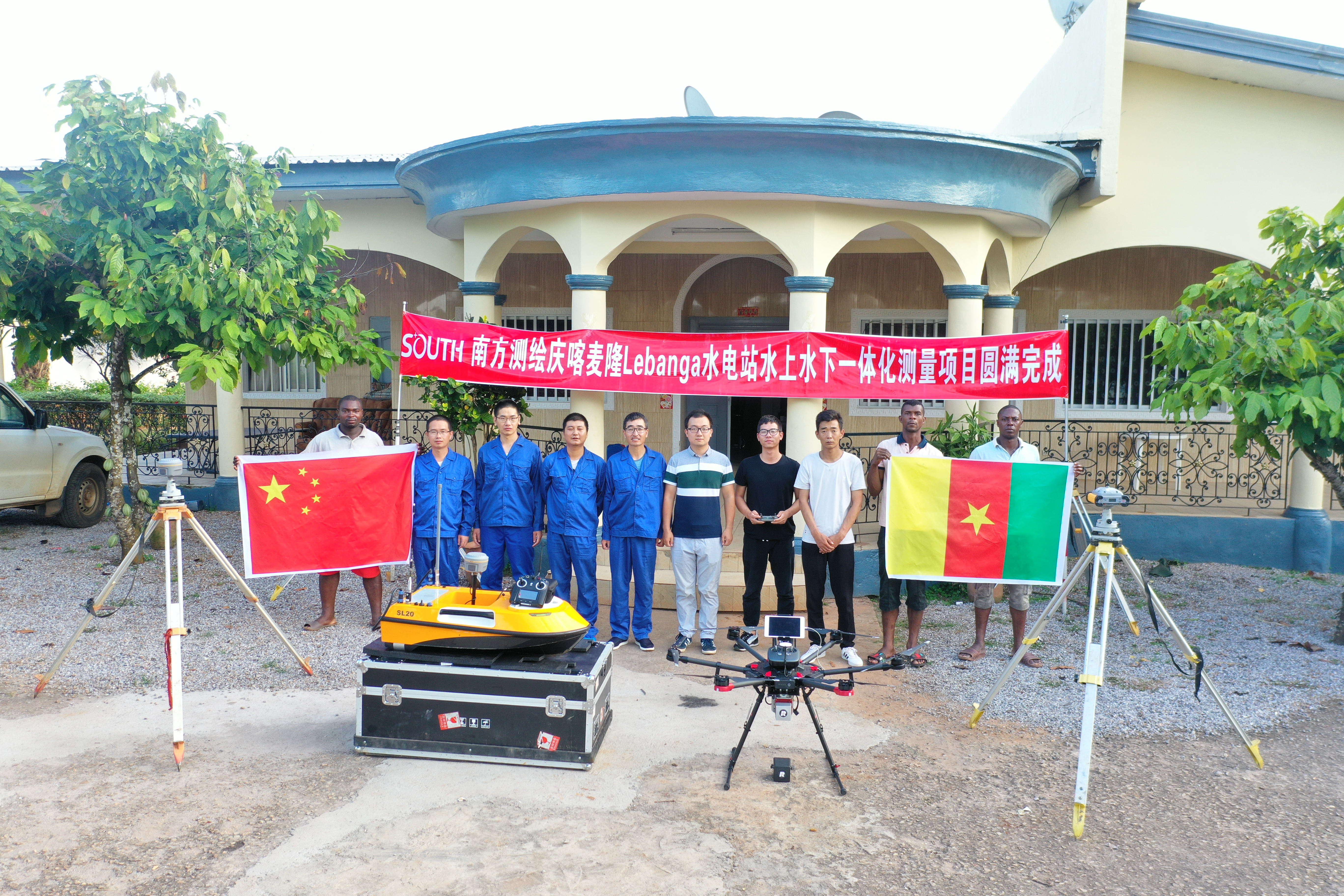
The team successfully delivered the mission against challenges of hot and humid weather and the potential threat of malaria.
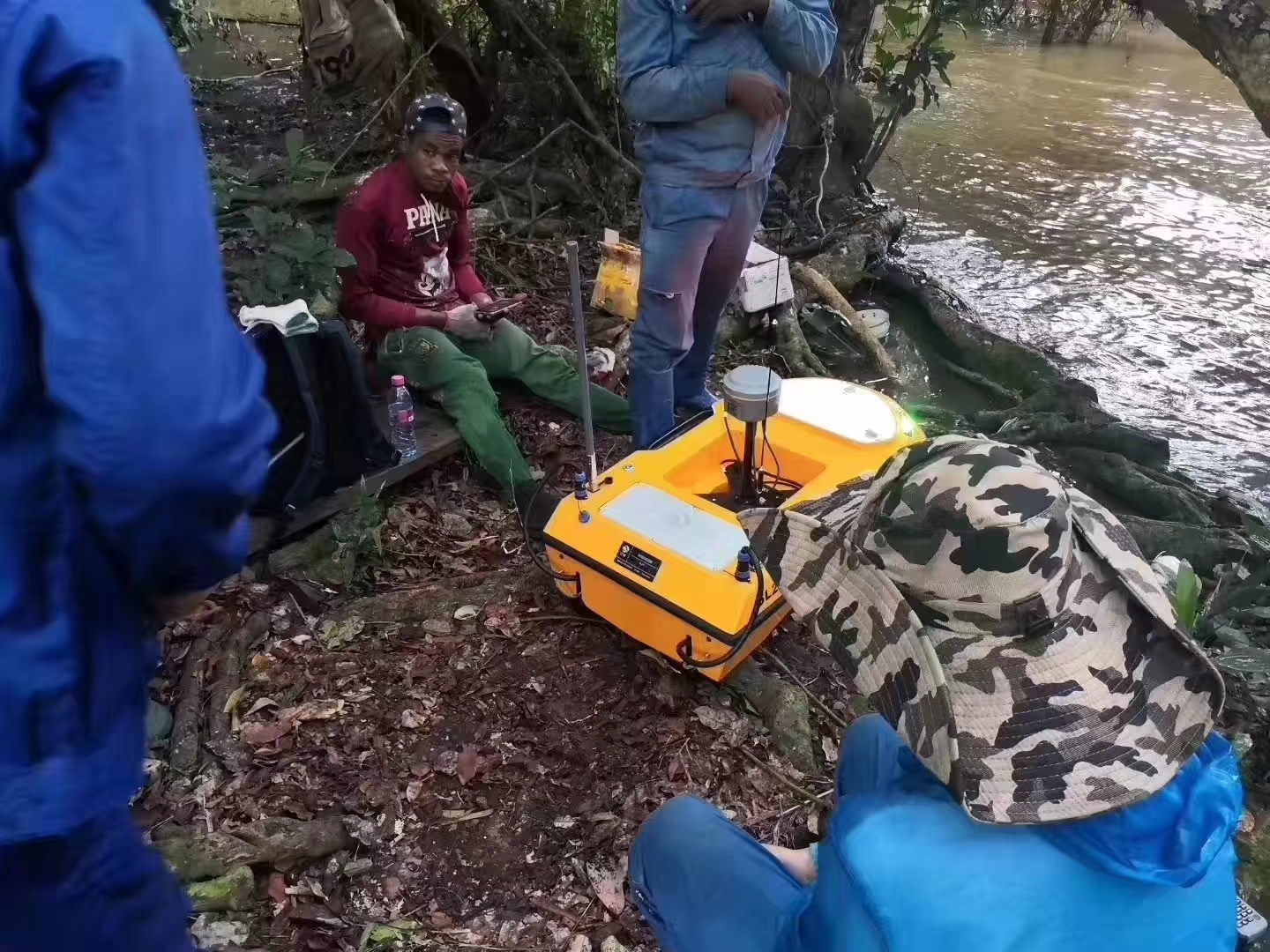
The USV being tested on river bank before launching
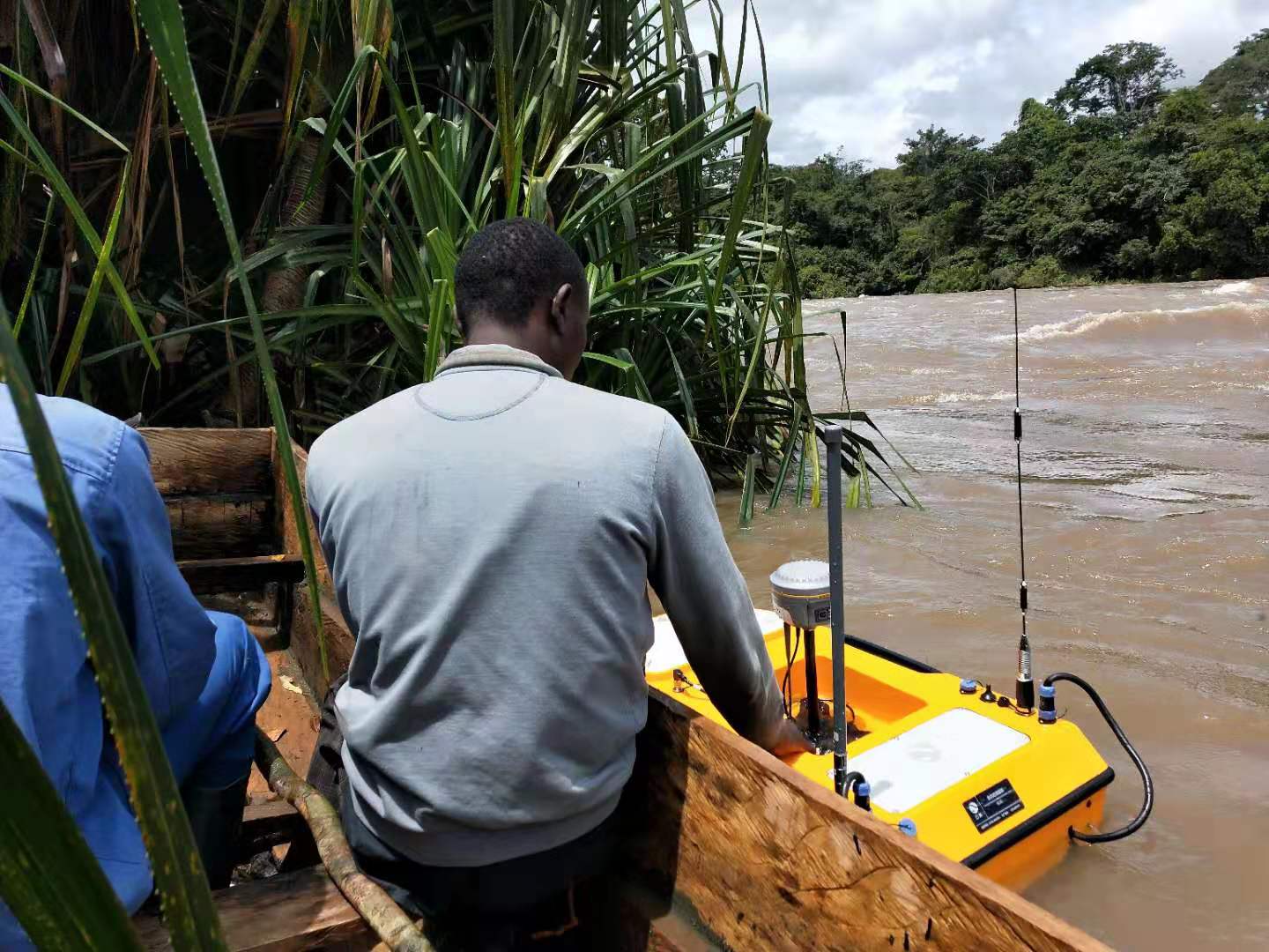
The USV was launched in river and got ready to start surveying
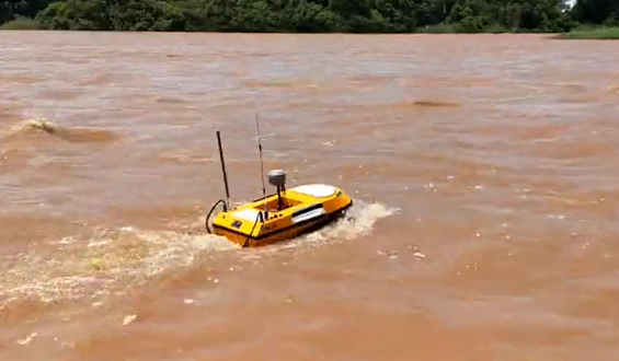
The USV surveyed on turbid water against repaid current
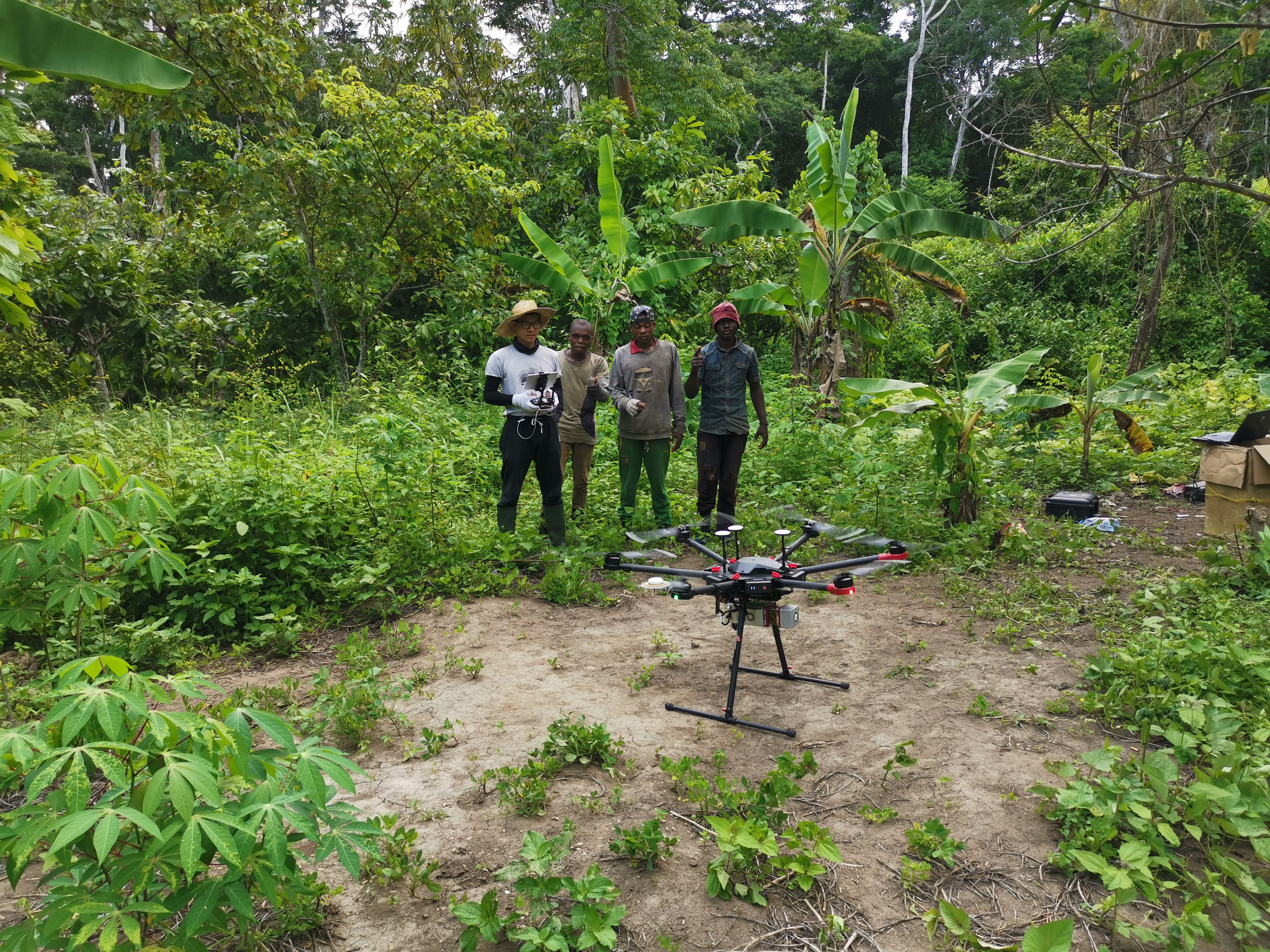
The UAV was launched in an open area
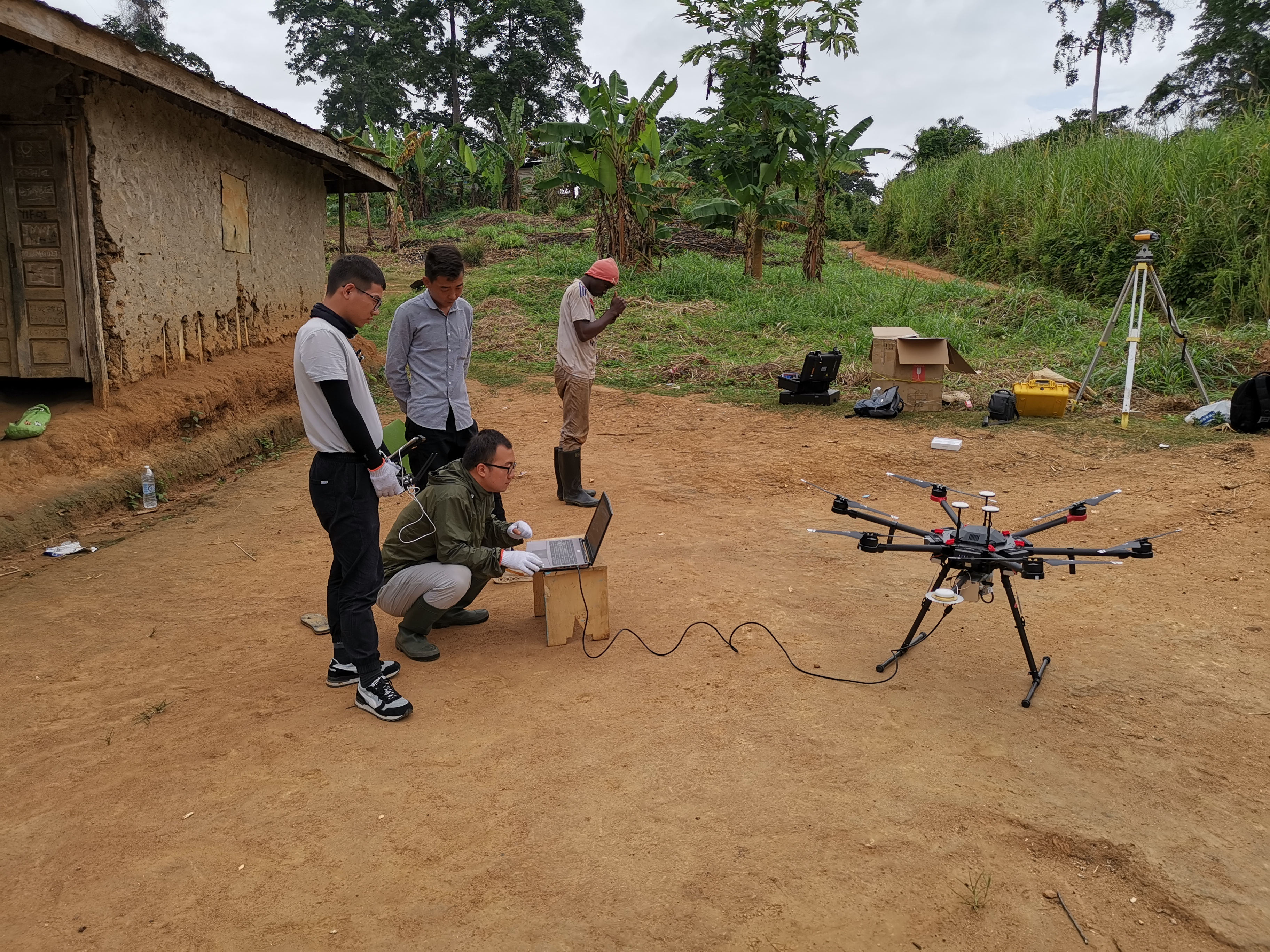
Surveyor downloaded data from the UAV
Related Applications
| SL40 & SL20 USV Measure River Velocity With ADCP in Jiangmen |
| SL20 USV Conducts Topographic Survey To A River Section |
| SL20 Unmanned Boat Surveys Three Plateau Glacial Lakes in Tibet |
We’d love to hear from you
Whether you have a question about features, trials, pricing, need a demo, or anything else, our team is ready to answer all your questions.