Date: March 3 to 6, 2019
Location: Jiangmen, Guangdong, China
Platform: SL40 Autonomous Flow Measurement USV, SL20 Hydrographic Survey USV
Equipment: ADCP
Mission: According to the client’s requirement, the service team was appointed to measure the flow velocity and discharge variation of the 6 river sections in Jiangmen in every two hours, continuously for 26 hours.
Two models of USVs from OceanAlpha are applied in this case. One is the SL40 Autonomous Flow Measurement USV. The USV platform consists of the main control system, a communication system, a location system, a power system, an obstacle avoidance system, a video system, and a mission system. In this case, the SL40 carries an ADCP as the mission system to achieve flow and discharge measurement function.
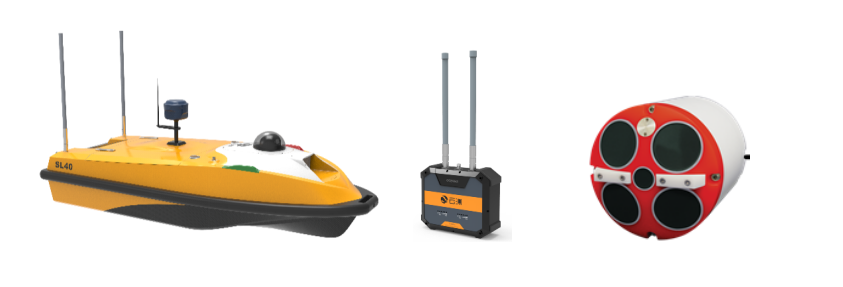
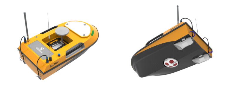
The other one is the SL20 Autonomous Hydrographic Survey USV. It can carry an ADCP to survey on inland rivers, while it can also conduct underwater mapping when carrying a small size single beam echo sounder and RTK. The SL20 USV is compact, light-weighted, easy to transport, perfect for one to two persons to operate in the filed.
The above USVs and survey equipment can achieve the following results:
- Measure the flow velocity and discharge of a current section.
- Generate velocity and discharge reports.
- Generate section velocity and discharge charts.
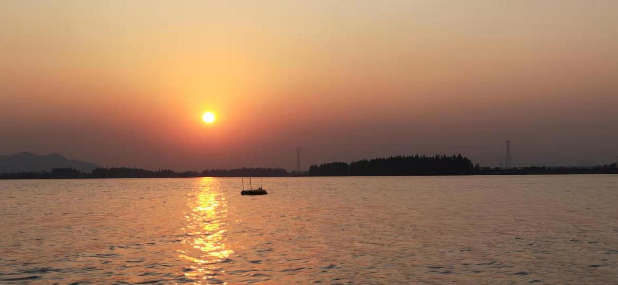
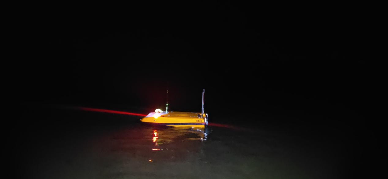
USVs working continuously for 26 hours
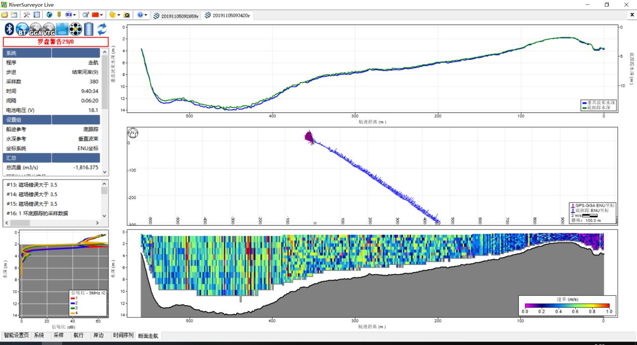
Chart 1
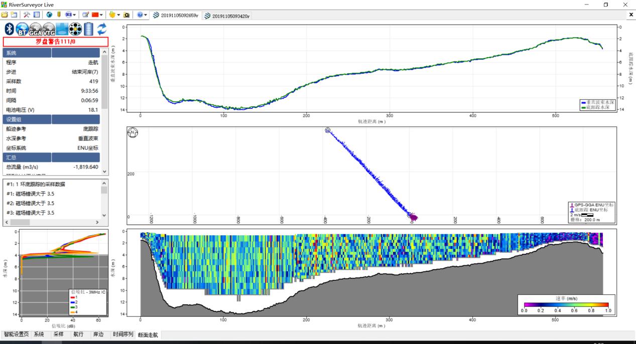
Chart 2
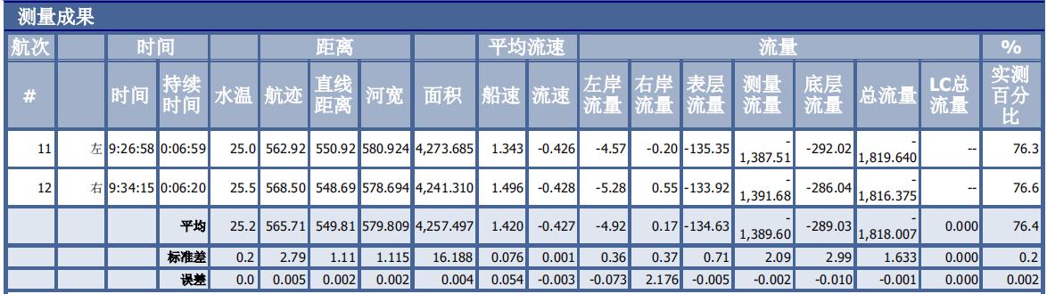 Chart 3
In the above charts, chart 1 is the measurement data displayed from the left bank to the right, while chart 2 is from right to left. From the two highly coincident results we can conclude that the USV had navigated a super straight survey line. Chart 3 is the measurement result of the No.11 and No.12 action. The similar measuring duration, straight distance, measured velocity, and discharge data show the high automation, precision and coincident of applying USVs in flow measurement.
Conclusion
Traditional flow measurement mainly relies on bridges or manned boats, while USVs can save much of the troubles. The fully automatic, high-precision navigation system of OceanAlpha USV can achieve higher accuracy than manual operation, ensuring that each measurement is carried out in the same section. The application of USV can greatly improve the accuracy of the data, and secures the safety of surveyors.
Related Applications
We’d love to hear from you
Whether you have a question about features, trials, pricing, need a demo, or anything else, our team is ready to answer all your questions.