Hydrographic survey is the most common and well-developed field in which unmanned surface vehicles are applied. Such surveys usually take long sail time and constant back and forth round-turns, posting significant challenges to the safety and wellness of surveyors.
The autonomous navigation system of our Hydrography survey USVs can release personal from such repeated, tedious works. Besides, with close cooperation with instrument manufacturers, our USVs are designed to provide the best support for instruments, such as single beam echo sounder, multibeam echo sounder, side-scan sonar, and ADCP to acquire high-quality data. Unique hull design, low noise engine, and advanced navigation algorithm are the core technologies that keep us leading in the industry.
Case Study
-
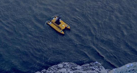
 ME120 USV Conduct Multibeam Survey in Wanjiazhai Reservoirs
 -
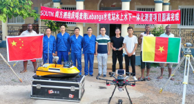
USV and UAV Collaborate to Map a Dam Site in Cameroon, Africa
-
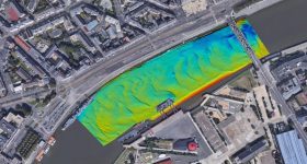
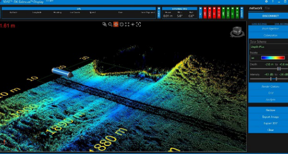
SL40 USV Conducts Mutibeam Echosounder Survey With A R2Sonic 2020 MBES
-
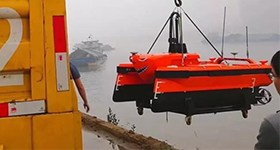
M40 USV Surveying With MS400 Multibeam Sounding System And Ping 3D Side Scan Sonar
-
SL20 USV Conducts Topographic Survey To A River Section
-
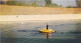
ME120 surveys water transfer channels with side scan sonar
-
M40 Survey A Dock With A Ping 3D Side Scan Sonar
-
M40 USV Conduct Underwater Topography Survey With A Reson T20P Multibeam Sonar

Product Solution
-
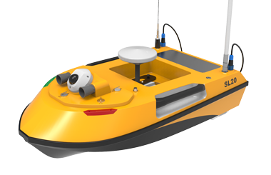
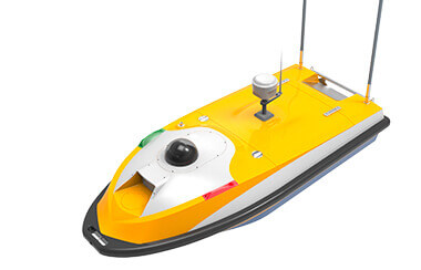
SL20
An auto-pilot one-man operation platform for ADCPs
-
SL40
Waterjet auto platform for water discharge and bathymetry survey
-
SL40Y
Waterjet RC platform for water discharge and bathymetry measurement
-
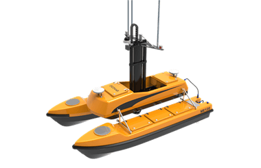
ME120
Convertible catamaran USV platform for hydrographic survey
-
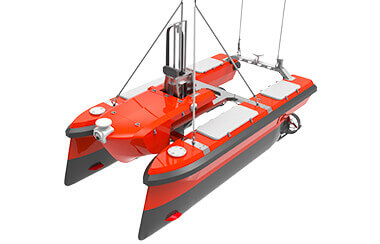
M40
A state of the art hydrographic platform designed for multi beam survey
-
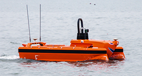
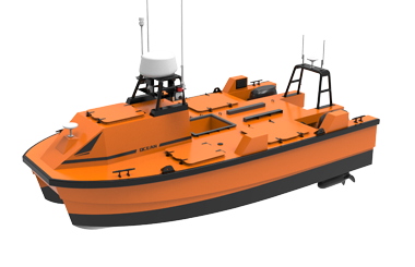
M40P
Long endurance USV for efficient data acquisition in the field of offshore energy exploration
 Offshore Wind Farm